
Environmental Restoration
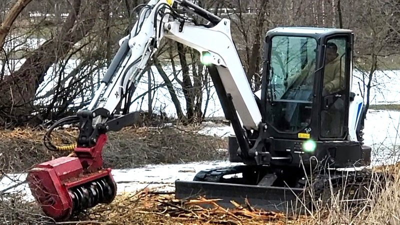
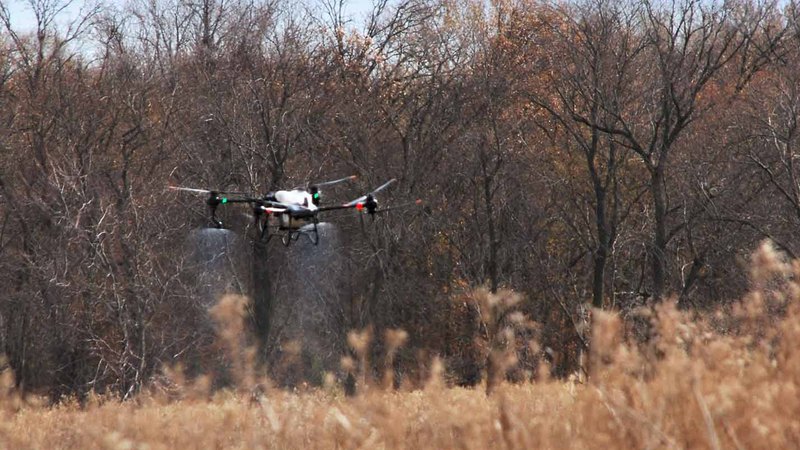
Environmental restoration focuses on the natural edges where land meets water, the zones that filter runoff, hold soil, and shelter wildlife. Our work here spans buffer and riparian care, wetland creation and permitting, invasive species control, prescribed burning, sediment studies, conservation planning, and educational outreach.
Wetland Restoration Services
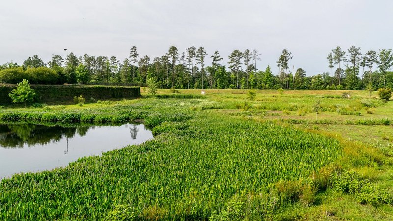
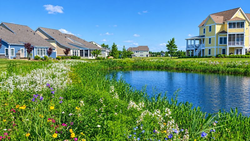
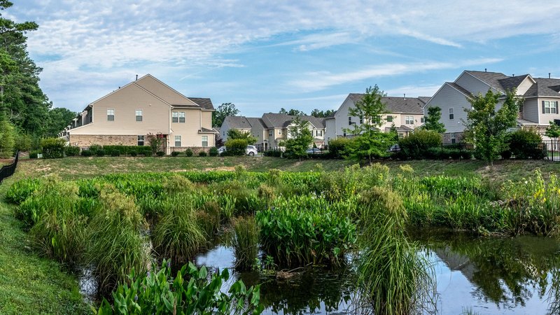
Our wetland restoration services help owners, developers, and public agencies protect wetlands, buffers, and natural areas. We support each project from early planning to long-term care.
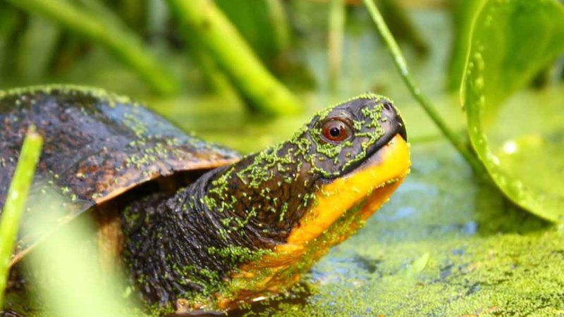
Healthy wetlands filter water, reduce flooding, and provide habitat for native wildlife. Clients move forward with confidence, knowing their land is managed responsibly.


Why Clients Choose Dragonfly
Our programs and services connect field care, reporting, tracking and long-term planning so there is always a clear view of what comes next.
Proactive Monitoring
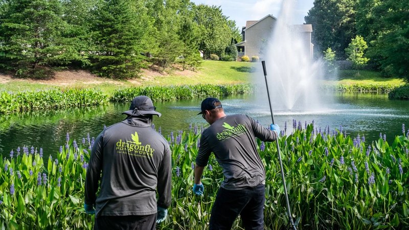
Routine site visits help the team spot and react to changing conditions early
Clear Documentation
Photo-backed updates ensure we track conditions over time.
Local Field Teams
Our experts and techs are local to the area and know the environment.
Full-Service Support
Maintenance, repair, restoration, and specialty work all in one place.
Use Cases For Each Service
Licensed, Certified, And Proven Across The Nation
Fully Licensed & Insured
Licensed aquatic applicators in all service states with commercial general liability and workers' compensation coverage. Applicator licenses renewed annually with continuing education requirements.
Industry Certifications
Certified Lake Managers (CLM) on staff through the North American Lake Management Society. Certified Aquatic Scientists and Fisheries Biologists provide technical oversight on complex projects.
Environmental Compliance
EPA-registered products applied according to federal and state regulations. Zero environmental violations or client fines since 2006. Full documentation and reporting.
National Coverage
Operating in North Carolina, South Carolina, Georgia, Tennessee, Virginia, Maryland, Delaware, Pennsylvania, New Jersey, and Texas with regional teams who understand their local areas.
Proven Track Record
Managing over 5,000 waterbodies for homeowner associations, commercial properties, municipalities, golf courses, and private clients. Long-term contracts with 80%+ client retention rate.
Safety Standards
OSHA-compliant safety training for all field technicians. Equipment properly maintained and calibrated. Detailed signage protocols after chemical applications to protect people and pets.
Environmental Restoration FAQs
Answers to our most common questions about our Pond and Lake Maintenance services. If you don't see your answer here, feel free to get in touch.
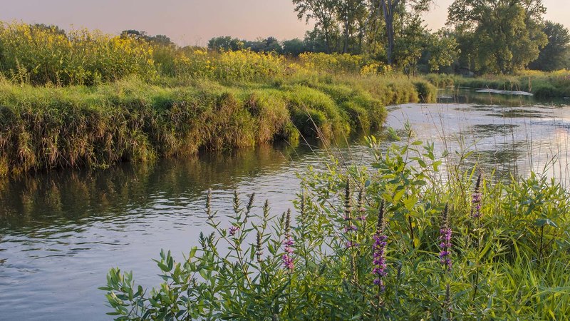
A riparian buffer is the strip of vegetation that separates lawns or pavement from open water. A healthy buffer catches runoff before it reaches the water, absorbs nutrients, mainly nitrogen and phosphorus, and helps hold the bank together while giving wildlife food and cover.
Mowing to the edge removes the roots that hold soil in place and the plants that filter runoff. That can lead to erosion, more nutrients in the water, and more algae. A managed buffer can still look neat while it does its job, and we help you find that balance.
We identify the plants that do not belong and manage them with targeted treatment, while protecting the native species that should stay. Our invasive species control covers both aquatic edges and terrestrial natural areas, and over time this gives the desirable plants room to fill in.
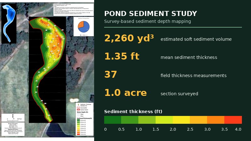
A pond and lake sediment study maps the depth of the water and the thickness of the material on the bottom. Owners and boards use that information to see how much capacity has been lost and to plan maintenance, restoration, or dredging with real data.
The two are related. Lake mapping and bathymetric surveys focuses on depth and bottom shape for ongoing management, while a pond and lake sediment study focuses on buildup and lost capacity ahead of restoration or dredging decisions. We help you choose the one that answers your question.
Yes. Our detailed photo reports give boards, managers, and community members a clear view of the buffer and the work completed on each visit.